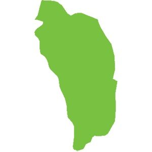
Dominica
751 km²
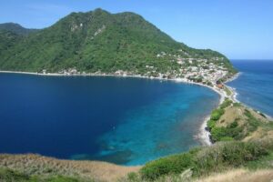
Located in the southwest of Dominica, the Soufrière-Scotts Head Marine Reserve is a bay originating from a vast extinct and submerged volcanic crater. The reserve covers about 6 to 7 square kilometers, bordering a coastline of mountains and hills. With a volcanic landscape, it is not surprising that the seascape is equally spectacular.
Discover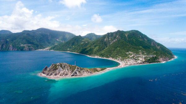
Located in south-west Dominica, the Soufrière-Scotts Head Marine Reserve is a bay originating from a vast submerged extinct volcanic crater. The reserve covers an area of around 6 to 7 square kilometres, bordering a coastline of mountains and hills.
Discover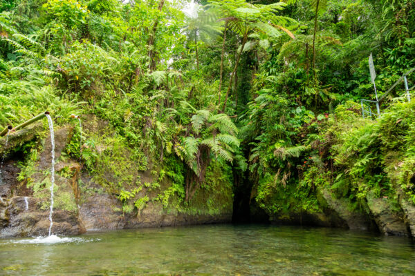
Titou Gorge, which translates as ‘little hole’ in French, is a gorge known for its pool coloured by the light streaming down from the top of the mountain.
Discover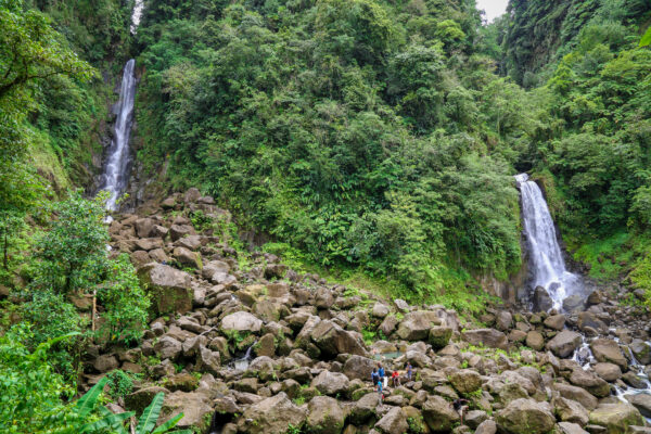
Falls is located in the heart of the Trois Pitons National Park.
This p Trafalgar air of waterfalls are easily accessible, they are located 20 minutes from Roseau (the capital) and it is possible to access after 15 minutes on foot.
Discover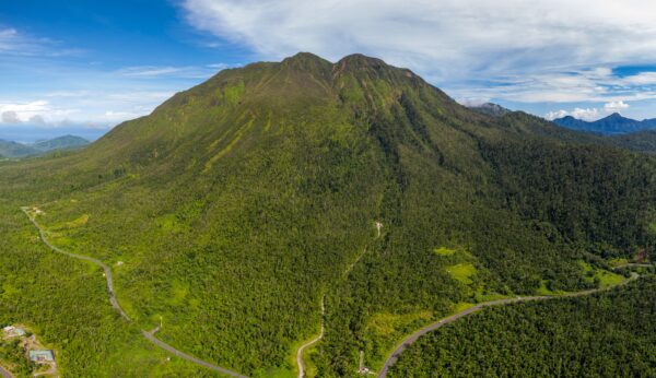
Morne Trois Pitons National Park covers 6,857 hectares. It was created in 1975 and is located in the center-south of the island. Its altitude varies from 152 m to more than 1300 m, with the highest areas located in the center of the Park. Le Morne Trois Pitons, the highest point, is one of the 5 volcanoes in the Park. It rises to 1342 m above sea level.
DiscoverCalibishie is home to the white sand beaches of Batibou, Hampstead, Hodges, Point Baptiste, Turtle and Woodford Hill. But other options are available inland with walks to discover freshwater rivers, waterfalls and the dense tropical forest, the various birds and its exuberant vegetation. Ecotourism attractions in Calibishie include visiting Red Rocks, biking, diving and river bathing, among others.
Discover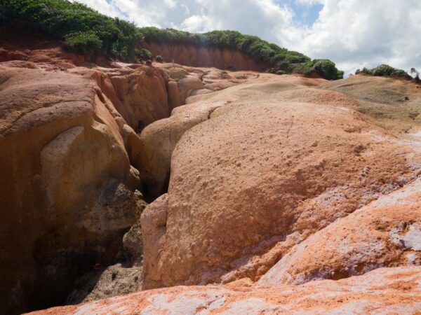
In Dominica, in addition to its mountains and hills, there are other formations related to the young volcanic activity of the island abound.
Discover
Cabrits National Park is located in the northwest of Dominica. The name Cabrits originates from a time when sailors let goats (cabrits) free to have meat to eat when they returned to the island.
DiscoverThe Waitikubuli National Trail is the longest in the Caribbean. It crosses Dominica from south to north and is divided into 14 segments. It begins at Scotts Head in the south and ends 186 km further north at Capucin.
Discover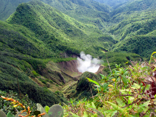
The Boiling Lake is a flooded fumarole located in an area near the Valley of Desolation in southern Dominica. With a diameter of about 60 meters and a depth of around 15 meters, it is the second largest lake of its kind in the world (the largest being the “Frying Pan” lake in New Zealand).
Discover