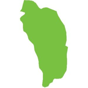
Dominica
751 km²
Fond Saint-Denis is located in the north of the island, close to Montagne Pelée. This small area of 24 km² on the slopes of the Pitons du Carbet used to house an observatory for monitoring the volcano. Named the Morne Cadet Observatory, it was also an important site for seismic research.
DiscoverThe bay of the town of Robert is a set of reefs located 3.5 km from the coast. It is almost closed, which allows it to protect the coast from the waves of the Atlantic Ocean. It is 6.5 km long and 3 km wide.
Discover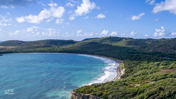
The coastline of the municipalities of Marin and Vauclin has a very high environmental value. Characterized by a great biological diversity composed of: wetlands (ponds, mangroves, backwaters, temporary rivers, marine environments), forest formations on the back beach (the most notable on the island), secondary forests, and hills.
Discover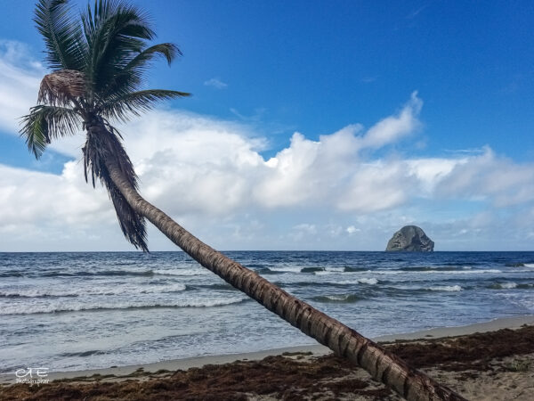
The famous Rocher located in the commune of Le Diamant is a hotspot for biodiversity. Due to its richness, it is part of the coastal conservation area and has also been classified since 1994 as a biotope protection zone, which prohibits access.
Discover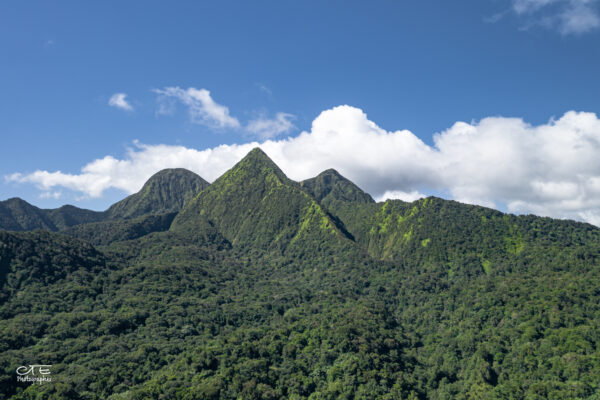
The Pitons du Carbet (Carbet Mountains or Carbet Nails), are a set of volcanic peaks dating from 300,000 to 1 million years ago. They are located northwest of Mount Pelée, the highest point on the island and are older than the latter.
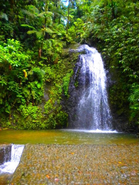
DiscoverJust a few kilometres from the capital, there are many gems of the Martinique forest. The western centre is marked by various hills and the Piton de l’Alma, which offers views of rivers and waterfalls just 20 minutes from the centre. A short hike from the Balata Garden takes you to the Absalon spa, which has unfortunately been abandoned for several years.
Discover
The Caravelle peninsula is part of the “ancient arch”, upon entering you walk on the oldest soils of Martinique (between 18 and 24 million years before our era). It is approximately 10 km long and 1 km wide, and marks the transition between the North Atlantic coast and the South Atlantic coast. Its configuration and relief have favored the development of a wide variety of plant formations and unique landscapes.
DiscoverGalion Forest is a small 15 ha swamp forest area. This type of ecosystem, very important, is the only relic of its kind in Martinique. This lake forest is located south of the municipality of Trinité. It is cataloged as ZNIEFF and was declared a biotope to be protected in 1999.
Discover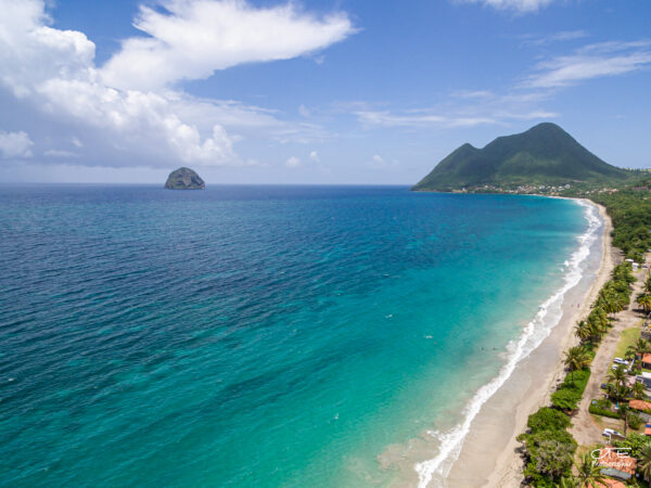
Located on the south coast of the island in the town of Diamant, Morne Larcher is an extinct volcano (1 million years ago) with a height of 478 m. It is part of a volcanic chain born from the fracture that crosses the Trois-îlets peninsula, formed by Morne Champagne, Morne Genty and Rocher du Diamant.
DiscoverThe Morne ACA is an area of 250 hectares located in the town of Marin. It is remarkable in terms of biodiversity and is home to hundreds of plant species, a phenomenon rarely observed in the south of the island.
Discover