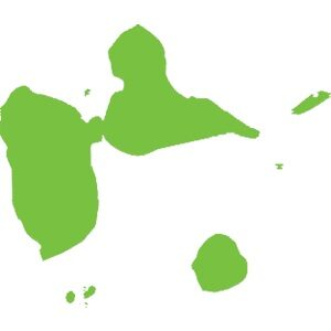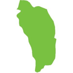
Dominica
751 km²
Caribbean natural sites make up the biodiversity hotspot we know. For example:
The wealth of these islands stems from their volcanic geological history (histoire géologique liée aux volcans). There are currently 21 active volcanoes in the Caribbean. Although some have been dormant for several years, there is at least one on each island, from Saba to Grenada, except in Dominica where there are 9.
Mount Duarte, the highest peak in the Caribbean, is located in the north of the Dominican Republic and reaches an altitude of 3,098 m. Its mountain range extends to the northern massif of Haiti. The highest peak in the Lesser Antilles is the active volcano of La Soufrière (La Soufrière) in Guadeloupe, reaching an altitude of 1,467 m.
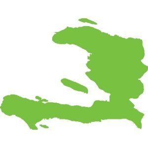
Haiti, adorned with geological assets and in particular numerous caves including:,( Marie-Louise Boumba), Jean Zinga but also and above all the Marie-Jeanne cave,(grotte Marie-Jeanne), the longest in the Caribbean with its 5.3 km of gallery. Located at an altitude of 120 meters in the commune of Port-à-Piment in the department of South Haiti, it is classified, to this day, as the largest underground heritage of Haiti.
Guadeloupe and its archipelago hide many secrets with its dual formation (volcanic and limestone). Marie-Galante, formerly attached to Grande-Terre, is a small, flat but surprising island. Discover the Gueule Grand Gouffre or Désirade, the oldest island in the Lesser Antilles, facing the Pointe des Châteaux (the most visited site in Guadeloupe) and the management of Petite-Terre, the only island home only to West Indian iguanas iguanes antillais.
In terms of forest diversity, our territories are home to forests of all types: xerophilous forest, mesophilous forest, hygrophilous forest, high-altitude forest, mangrove… In Haiti, the Pine Forest, located at an altitude of over 2,000 meters, forms a vast, important and emblematic expanse of tropical and subtropical coniferous forests.
Underwater, life abounds. In Guadeloupe, we find the Grand cul-de-sac marin where corals, fish and turtles coexist, sheltered by the largest coral reef in the Lesser Antilles.
In fresh water, many waterfalls are known, notably the Carbet Falls Chutes du Carbet with their history linked to the Amerindians living at their mouths in huts. But also the Saut-d'Eau Waterfall, Cascade Saut-d'Eau , emblematic in Haiti for pilgrimages.
Our biodiversity is rich and interconnected; for it to survive and stay healthy, we must protect every link in the chain. Forests, mangroves, seabeds, seas, rivers, lakes, ponds… all the ecosystems they shelter are a guarantee of the balance of our environment.
Point Abacou was declared a marine protected area by the Order of August 26th, 2013. It is part of the marine and coastal complex called Protected Areas of Managed Natural Resources of Port-Salut/Aquin.
Discover
Cahouane was declared a protected area for both species and habitats by decree of August 26th, 2013. It is also included in the long list of target areas for biodiversity conservation in the Greater South.
Discover
Located just north of Haiti with its unique mountain that, seen from afar, gives it the shape of a resting tortoise, this magnificent island that can be admired from Port-de-Paix, Saint Louis du Nord or Anse-à – Foleur and whose lights, at dusk, are an invitation to undertake the journey, has a particular history, a history made of adventures and battles.
Discover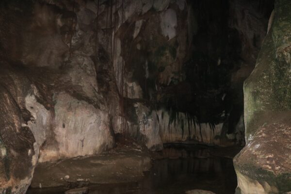
Located in the southeast of Haiti (in the Jacmel valley), more specifically in Parc de la Visite, the Marie Louise Boumba cave is 262 m deep and 938 m long. It was recently discovered, by French speleologists, between February 11th and 13th, 2013.
Discover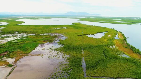
Created by the decree of April 7th, 2017, the Baradères/Cayemites marine and coastal complex is officially known as the “Baradères-Cayemites Managed Natural Resources Protected Areas”. It is located on the north coast of the southwestern peninsula of Haiti
Discover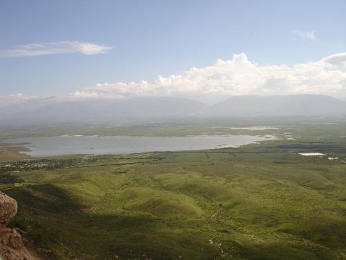
Also known as “Dlo Gaye,” Trou Caïman (Cayman Hole) is a shallow freshwater lake covering approximately 16 square kilometers. Located 20 km northeast of Port-au-Prince, on the Plaine du Cul-de-sac, at an elevation of 10 meters, the lake stretches approximately 6 km in length and 2.7 km in width.
Discover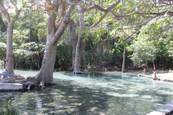
La Source Zabeth is located in the commune of Ganthier, twenty km from Port-au-Prince, specifically in the town of Bonnette, second communal section of Ganthier. The picturesqueness of this natural site does not leave the visitor indifferent, until there are beaten earth paths lined with gardens.
Discover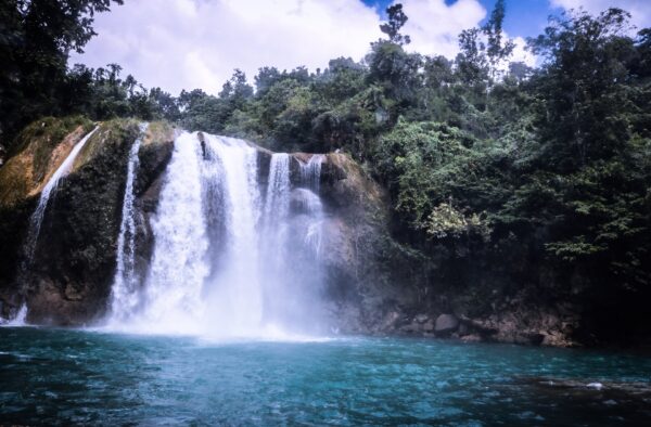
Located on the southwestern peninsula of the greenest region of Haiti, specifically in the south of the island about 10 km from the center of Camp Perrin, the Saut Mathurine waterfall is one of the most beautiful waterfalls in the Republic of Haiti.
Discover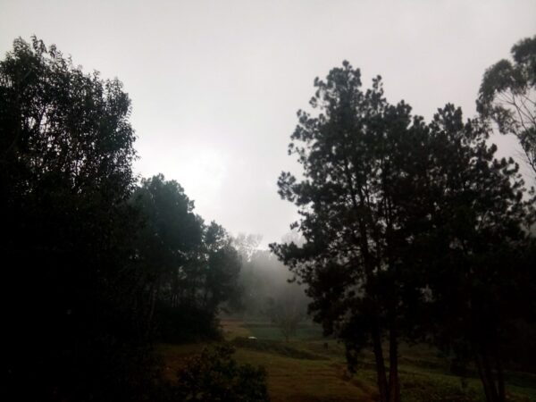
Created in 1956 by the American geological engineer Victor Wynn, the Wynne Farm Ecological Reserve is located at an altitude of about 1,300 meters on the heights of Kenscoff, 20 km from Port-au-Prince. This covers an area of 12 hectares.
Discover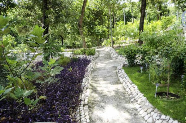
The Martissant National Urban Park (PNU-MAR) was created on April 7th, 2017 by presidential decree. It is based on the former residences of Mangonès and Katherine-Dunham and on the remains of the residences of Destouches and Pauline Leclerc.
Discover