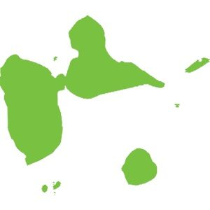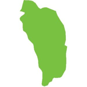
Dominica
751 km²
Caribbean natural sites make up the biodiversity hotspot we know. For example:
The wealth of these islands stems from their volcanic geological history (histoire géologique liée aux volcans). There are currently 21 active volcanoes in the Caribbean. Although some have been dormant for several years, there is at least one on each island, from Saba to Grenada, except in Dominica where there are 9.
Mount Duarte, the highest peak in the Caribbean, is located in the north of the Dominican Republic and reaches an altitude of 3,098 m. Its mountain range extends to the northern massif of Haiti. The highest peak in the Lesser Antilles is the active volcano of La Soufrière (La Soufrière) in Guadeloupe, reaching an altitude of 1,467 m.
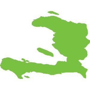
Haiti, adorned with geological assets and in particular numerous caves including:,( Marie-Louise Boumba), Jean Zinga but also and above all the Marie-Jeanne cave,(grotte Marie-Jeanne), the longest in the Caribbean with its 5.3 km of gallery. Located at an altitude of 120 meters in the commune of Port-à-Piment in the department of South Haiti, it is classified, to this day, as the largest underground heritage of Haiti.
Guadeloupe and its archipelago hide many secrets with its dual formation (volcanic and limestone). Marie-Galante, formerly attached to Grande-Terre, is a small, flat but surprising island. Discover the Gueule Grand Gouffre or Désirade, the oldest island in the Lesser Antilles, facing the Pointe des Châteaux (the most visited site in Guadeloupe) and the management of Petite-Terre, the only island home only to West Indian iguanas iguanes antillais.
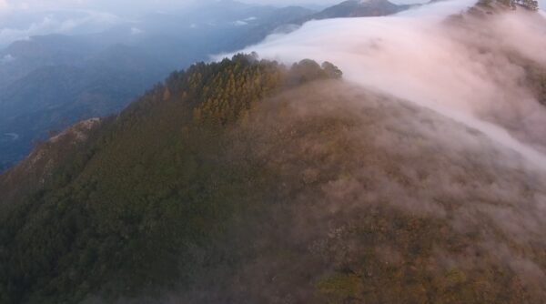
In terms of forest diversity, our territories are home to forests of all types: xerophilous forest, mesophilous forest, hygrophilous forest, high-altitude forest, mangrove… In Haiti, the Pine Forest, located at an altitude of over 2,000 meters, forms a vast, important and emblematic expanse of tropical and subtropical coniferous forests.
Underwater, life abounds. In Guadeloupe, we find the Grand cul-de-sac marin where corals, fish and turtles coexist, sheltered by the largest coral reef in the Lesser Antilles.
In fresh water, many waterfalls are known, notably the Carbet Falls Chutes du Carbet with their history linked to the Amerindians living at their mouths in huts. But also the Saut-d'Eau Waterfall, Cascade Saut-d'Eau , emblematic in Haiti for pilgrimages.
Our biodiversity is rich and interconnected; for it to survive and stay healthy, we must protect every link in the chain. Forests, mangroves, seabeds, seas, rivers, lakes, ponds… all the ecosystems they shelter are a guarantee of the balance of our environment.
The Macaya National Natural Park is at the heart of the Massif de la Hotte Biosphere Reserve, designated by UNESCO in 2016. This constitutes one of the most important areas for biodiversity conservation for Haiti and the Caribbean. Dominated by Pic Macaya, which culminates at 2,347 meters, Macaya Park is located on the southwestern peninsula of Haiti.
Discover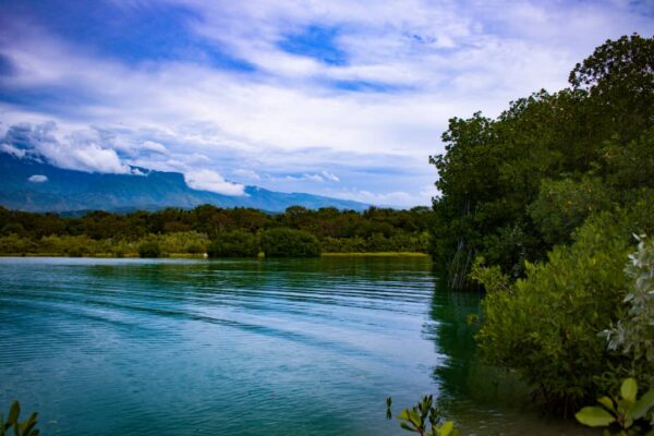
The Oyster Lagoon National Natural Park (PNN-LDH), an attractive natural space, is a reserve of marine and terrestrial biodiversity with an area of 9,640 hectares and a perimeter of 65 km². It is mainly composed of dry forest belonging to the municipalities of Belle-Anse and Grand-Gosier.
Discover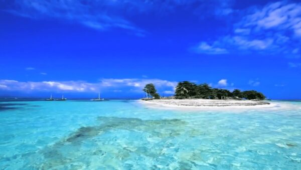
Located on the southwest coast of Haiti, 30 minutes by boat, that is, 10 km from the city of Les Cayes, Ile-à-Vache is a small island jewel known as one of the most beautiful in the Caribbean.
Discover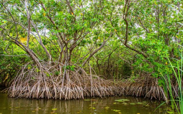
Created by presidential decree in December 2013, the Trois Baies (Three Bays) and Lagon aux Bœufs (Ox Lagoons) National Park (PN3B), extends over three bays: the coast of Limonade, Caracol and Fort-Liberté, in addition to contain a large brackish water lagoon called “Lagon aux Boeufs”.
Discover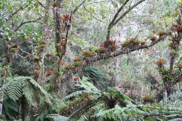
The Grande Colline National Nature Park was created on July 23rd, 2014 with an area of 1,510 hectares. It contains the Grande Colline mountain range in the heart of the Massif de la Hotte, in southwestern Haiti, west of Pic Macaya.
Discover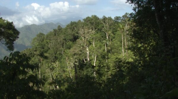
The Grand Bois National Natural Park was created on September 23rd, 2015. It is located in the southwest of Haiti, northwest of Les Anglais in the southern department. Le Morne Grand Bois is an isolated bowl-shaped mountain with remnants of primary rainforest.
Discover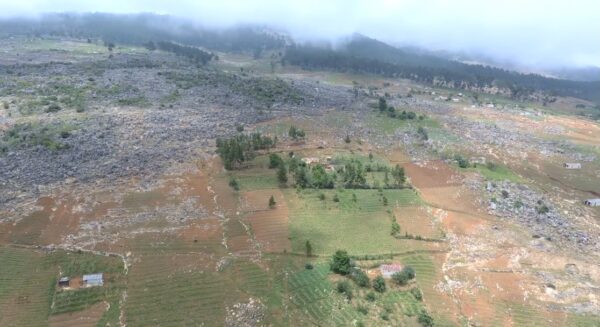
La Visite National Park is part of the main area of the Selle biosphere reserve, declared by UNESCO in 2012. It is located on the heights of the Selle massif, which is called the “Key Biodiversity Area of Haiti”.
Discover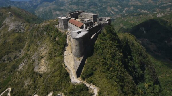
Declared a “protected area” in April 2010, the Sans-souci Ramier National Historical Park (PNH-CSSR) occupies an area of 2,500 hectares or 25 km² and is made up of three important historical and natural sites: La Ferrière Citadel, the ruins of the Sans Souci Palace and the Ramiers complex.
Discover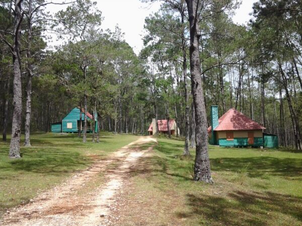
The Pine Forest National Natural Park or “Parc Naturel National de la Forêt des Pins” (PNN-FP) with an area of 18,780 ha, is divided into 2 parks. The first zone has 4,780.57 ha and the second 14,000 ha. This place has the reputation of being a key area for biodiversity in Haiti.
Discover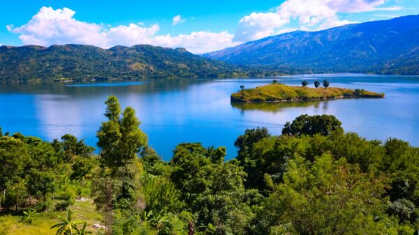
Built on the Artibonite River (the longest river in Haiti), Péligre is a hydroelectric power station located in the Center department of Haiti, 52 km from Port-au-Prince and 9 km from the city of Mirebalais. It is the second largest lake in Haiti after the Saumâtre Pond, also called “Lake Azuéi”.
Discover